
Belvoir Castle wedding map print
Vale of Belvoir, Leicestershire
- Styles
- 19 colourwaysto choose from
- 300 DPIsharp at every size
- Price
- From £24.95delivered free
- Paper
- 240 gsmsmooth fine-art paper
High on a ridge in the far north of Leicestershire, with Lincolnshire and Nottinghamshire on either side, Belvoir Castle looks out over the Vale that shares its name, some six miles west of Grantham.
There has been a castle on this hill since the Normans. Robert de Todeni held the land at the time of Domesday, and the Manners family, later Dukes of Rutland, kept building here: a Tudor manor razed by Parliament in 1649, a house by John Webb finished by 1668, and then James Wyatt's Gothic Revival towers, begun after 1799.
Wyatt's castle had barely risen when a fire on 26 October 1816 almost destroyed it, and it was rebuilt to largely the same designs by about 1832. The gardens were created in 1799 by Elizabeth Howard, the 5th Duchess, in an amphitheatre of glacial moraines threaded with fresh springs, and the parkland around them was first laid out by Capability Brown.
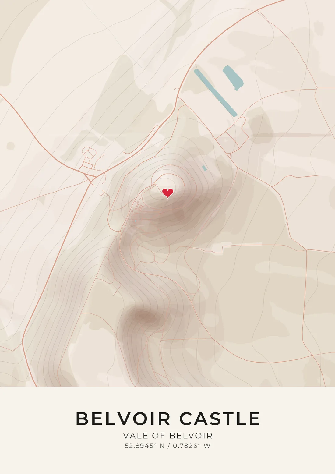
On the artwork, the contour lines show the hill the castle crowns, with the estate's woods and parkland spread across the slopes below. Film crews have come for that silhouette, from Young Sherlock Holmes to The Da Vinci Code and The Young Victoria. Your own guests came for a different reason, and the pin marks where they gathered.
Questions
Where does the pin go?
On the castle, at the top of its hill. If you married in the gardens or somewhere else on the estate, drag the pin there before you preview.
Will the Vale of Belvoir show?
Only the slopes that fall towards it. The artwork is about 1.2 km wide, centred on the castle, so it shows the hill, the grounds and the land just below; the wider Vale runs on beyond the edge of the map.
Can we add our names and the date?
Yes. Your names go in the title and the date goes beneath it, or write whatever you like there. You see the finished artwork before you pay.
Is this an official Belvoir Castle product?
No. Maps & Son is not connected with Belvoir Castle or its owners. The name says which place is mapped: this is a map of the venue and the land around it, drawn from OpenStreetMap.
How much does a wedding venue print cost?
Prints start at £24.95, printed on 240 gsm smooth fine-art paper, with delivery included to the UK and 25 other countries. Sold as A4, A3, A2 or A1 prints, unframed, at standard sizes so a ready-made frame will fit.
More wedding venues
- Blenheim Palace
- Chatsworth House
- Highclere Castle
- Leeds Castle
- Castle Howard
- Hampton Court Palace
- Cliveden House
- Burgh Island Hotel
- Harewood House
- Hedingham Castle
- Kensington Palace
- Banqueting House
- Syon Park
- Chiswick House
- Natural History Museum
- Somerset House
- Royal Pavilion
- Hever Castle
- Warwick Castle
- Alnwick Castle
- Bamburgh Castle
- Lulworth Castle
- Highcliffe Castle
- Sudeley Castle
- Berkeley Castle
- Longleat House
- Waddesdon Manor
- Knebworth House
- Burghley House
- Holkham Hall
- Stowe House
- Tatton Park
- Peckforton Castle
- Portmeirion
- St Donat's Castle
- Cardiff Castle
- The Pump Room
- Durham Castle
- Eastnor Castle
- The Ritz
- Claridge's
- The Dorchester
- Tower of London
- Babington House
- Chewton Glen
- Titanic Belfast
- Hillsborough Castle
- Wentworth Woodhouse
- Royal Botanic Gardens
Maps & Son is not connected with Belvoir Castle or its owners. The map is drawn from OpenStreetMap.