
How to print your Strava route on a map
Updated
Export the activity as a GPX file from the Strava website on a computer, because the phone app cannot do it, then upload that file to our designer. The map frames itself around your route, and you see the finished artwork before you pay.
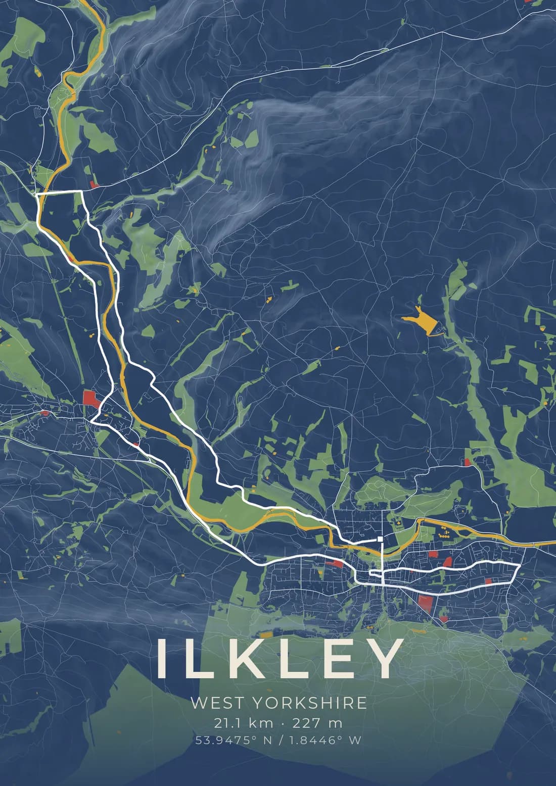
You finished the run. Strava has the map, the splits and the kudos, and now you want the route on your wall. The part nobody tells you is that the Strava app on your phone cannot hand you the file you need. This guide shows how to get a GPX file out of Strava, Garmin Connect and other apps, and what to do with it once you have it.
What a GPX file is, and why you need one
A GPX file is a plain list of the points your watch or phone recorded as you moved: latitude, longitude, and usually the height and the time at each point. It is an open format, which is why almost every running, cycling and walking app can export one and almost every mapping tool can read one.
To print your route, we need those points. Our designer reads the file, draws the line, and frames the map around it so the whole route fits on the sheet with a little room to spare. The distance and the climb are worked out from the same points, and if your file records the time, that is offered too. You choose which of them to print.
A screenshot of the Strava map will not do the same job. It is a picture of somebody else's map at screen resolution, and a print needs the route itself, drawn over a map made for paper.
Exporting a GPX file from Strava
Strava's own help page is clear on this: exporting your data is only available on the Strava website. The iPhone and Android apps do not offer it, however long you look. So you need a computer, or a phone browser set to show the desktop site.
- Go to strava.com in a web browser and log in.
- Open the activity you want to print. The quickest way is from your profile, or from the activity's own page if you have the link.
- Find the menu shown as three dots (the "More" menu) beside the activity.
- Choose Export GPX. The file downloads with a name ending in
.gpx.
That is the whole of it. If you see Export Original instead, that downloads whatever file your device first uploaded, which may be a FIT or TCX file rather than GPX. Choose Export GPX.
You can only export your own activities this way. If you want to print a route for somebody else, as a gift, ask them to export it and send you the file.
If you only have your phone
Most phone browsers can ask for the desktop version of a site. Open strava.com in Safari or Chrome, log in, choose "Request Desktop Website" or "Desktop site" from the browser's menu, and follow the steps above. It is fiddly on a small screen, but it works, and the file lands in your downloads.
The Connect with Strava button
Our designer has a Connect with Strava button that lets you pick an activity straight from your account, with no file at all. It is open to a limited number of accounts while Strava reviews our app, so it will not always be there. When it is not, the GPX upload does the same job.
Exporting from Garmin Connect
If your watch is a Garmin, you can skip Strava altogether and export from Garmin Connect.
- Log in to Garmin Connect in a web browser.
- Open the activity.
- Click the gear icon at the top right of the activity.
- Choose Export to GPX.
As with Strava, this is easiest on a computer.
Exporting from other apps
- Komoot. Open the tour on the Komoot website and use its download option to save it as a GPX file.
- Apple Watch and Apple Health. Apple does not export a GPX file itself. A free app such as RunGap or HealthFit can read your workouts and export one.
- Most other running and cycling apps have an export or share option with GPX among the formats. Look in the activity's menu.
If an app offers several formats, GPX is the one to choose.
Uploading it to the designer
Open the designer on the route upload, then drop your file onto it or click to choose it. A few seconds later the map moves to your route and frames itself around it.
From there:
- Choose the shape. Portrait or landscape. The map re-frames to keep the whole route on the sheet when you switch.
- Choose a style. There are twelve. A route is drawn in a colour chosen to stand out on each one.
- Write the words. The title and the line beneath it are yours: your name, the event, your finishing time.
- Tick the numbers. Distance and climb come from your file, and time too if it was recorded. Tick the ones you want printed.
- Preview. Pressing Preview draws the finished artwork itself, the file our printer receives, not a mock-up. Nothing is printed until you approve it.
Prints start at £24.95, and delivery is included.
Routes that start at your front door
Many runs and rides start at home. Your GPX file contains every point you recorded, so the line on the map will start exactly where you did. Strava's privacy zones hide the start of an activity from other people on Strava, but they do not change the file you export from your own account.
If you would rather your front door was not on your wall, export a version of the activity that starts further along. Most apps let you crop the start of an activity, or you can choose a race or a route that did not start at home. We use your file only to draw your artwork, and it is kept with your design, nowhere else.
Common problems
"We couldn't read that file." The file is probably not GPX. Check that the name ends in .gpx, and if you used Export Original on Strava, go back and choose Export GPX.
The route is too big. A very long ride, crossing more than a few tens of kilometres, cannot be printed at a detail that still shows the roads. The designer tells you when that happens. Try a single day or stage.
The file is too large. Export one activity, not your whole history. A single activity is almost always well under the limit.
No time in the numbers. Some exports carry no times at all. We would rather print no time than a wrong one, so write it in the line beneath the title instead.
Indoor sessions. A treadmill run or a turbo trainer ride has no GPS points, so there is no route to draw.
A route is the story of the day
The best route prints are the ones with something to remember: a first half marathon, the climb you walked the first time and ran the second, the ride to the coast. The map shows the landscape around the line, the river you ran beside and the hills you crossed, so it reads as a place as well as a distance.
Upload your route and see it on the map. If you are not sure it will look right, preview it first; you see exactly what will be printed before you decide.